
Hiking in West Styria
The finest walks and hikes around Stainz
Around Stainz lie roughly 240 kilometres of marked trails - from the flat riverside path along the Stainzbach to the summit cross on the Rosenkogel. A selection with distances, walking times, and what is open along the way.
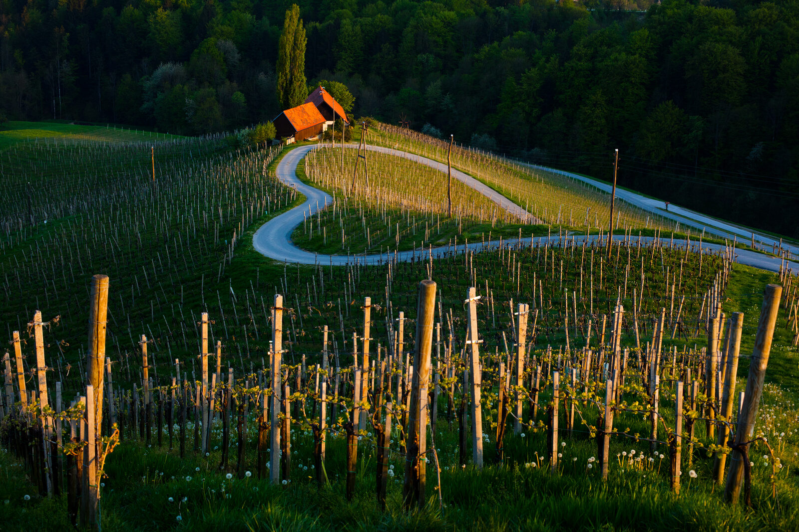
West Styria is not a hiking region in the alpine sense. There are no via ferratas, no cable car, and no hut you can only reach with crampons. What there is, is a dense network of marked trails - roughly 240 kilometres in the Schilcherland alone - running between about 300 and 1,400 metres of elevation through vineyards, chestnut woods, and over wooded ridges. That mix is what makes the region interesting for people who want to walk without climbing.
The selection below is sorted by effort: from half an hour straight from the door to a full-day route with a thousand metres of ascent.
Straight from the door: thirty to ninety minutes
The riverside path along the Stainzbach. The shortest walk, the one you do not need to change clothes for. It runs from the village centre along the water, flat and shaded, and noticeably cooler in summer than the open slopes. For the half hour after breakfast, or for the evening walk when the light is already low.
The first vineyard slopes to the east. From Stainz you reach the first vineyards on foot in about twenty minutes. From there you can extend at will: every rise has a way up and a different way down. If you are not planning a loop, simply walk until you feel like turning around.
The loop around the village. One to two hours, mostly on made-up paths, with a view back to the castle and the village centre. Also manageable in damp weather, because there are no meadow sections.
Why the short walks are the ones people actually take
The experience from many guest stays: the planned day hike often happens once, the path along the stream almost every day. If you are staying a week, worry less about the length of the longest hike and more about what starts directly outside the door.
Half-day routes: two to four hours
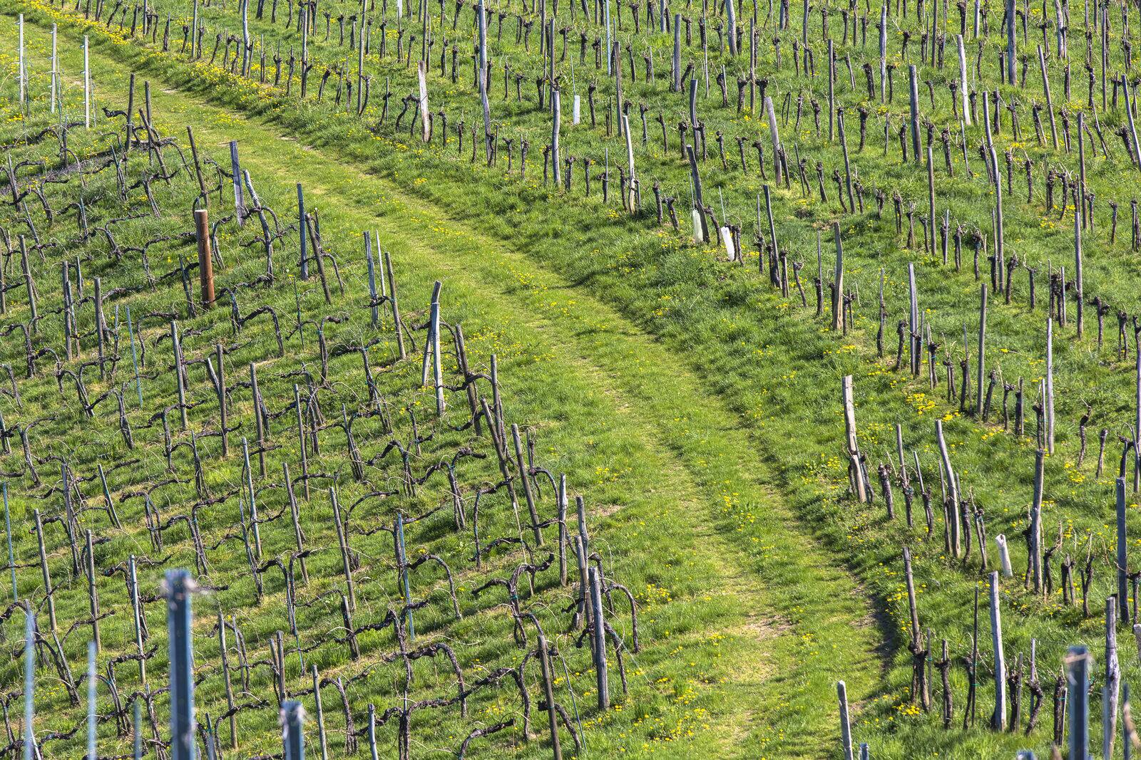
Stainz Panorama Trail, about 11 km. The trail that lives up to its name: it crosses several rises around Stainz with wide views over the Schilcherland. Mostly on farm tracks and meadow paths, with steady up and down rather than one long climb. Allow three to three and a half hours without stops.
Chestnut Trail, about 6.2 km. The shorter alternative with the most distinct character. The sweet chestnut is not an ornamental tree in West Styria but part of the cultivated landscape - in October the path is covered in them. Roughly two hours, family-friendly.
Chapel Trail, about 8 km. Links several of the small hill chapels nearby. The appeal lies less in the buildings than in their forecourts: almost every one has a bench with an open view. Two and a half to three hours.
Marhof Genusswanderweg, about 6.5 km. A short loop with the explicit purpose of stopping along the way. Only worthwhile on days when the establishments on the route are open - the opening hours of the wine taverns are seasonal, and a call the day before saves a wasted detour.
Stainztal loop, about 10.8 km. The flattest of the longer loops, largely in the valley. For families with children or for days when elevation gain is not the point. About three hours.
Tasting trails: walking as a pretext
GenussSchilchern "da", about 10.2 km, and "dort", about 13 km (roughly 15 km with the detour). Two themed loops through the vineyards that deliberately combine trails and wineries. Walked as intended, they take considerably longer than the pure walking time - which is the point. Details on the establishments are under Top 5 Buschenschenken near Stainz.
Höllerhanslweg, about 16 km. The longer version of the same principle, named after one of the best-known wine taverns in the area. A full day, if you do not treat it as a march.
Archduke Johann water trail, about 5.4 km. A short themed route connected to Archduke Johann, who shaped the region decisively in the 19th century. The background is under Who Was Anna Plochl? and under Stainz Castle.
What 'stopping for a bite' means in West Styria
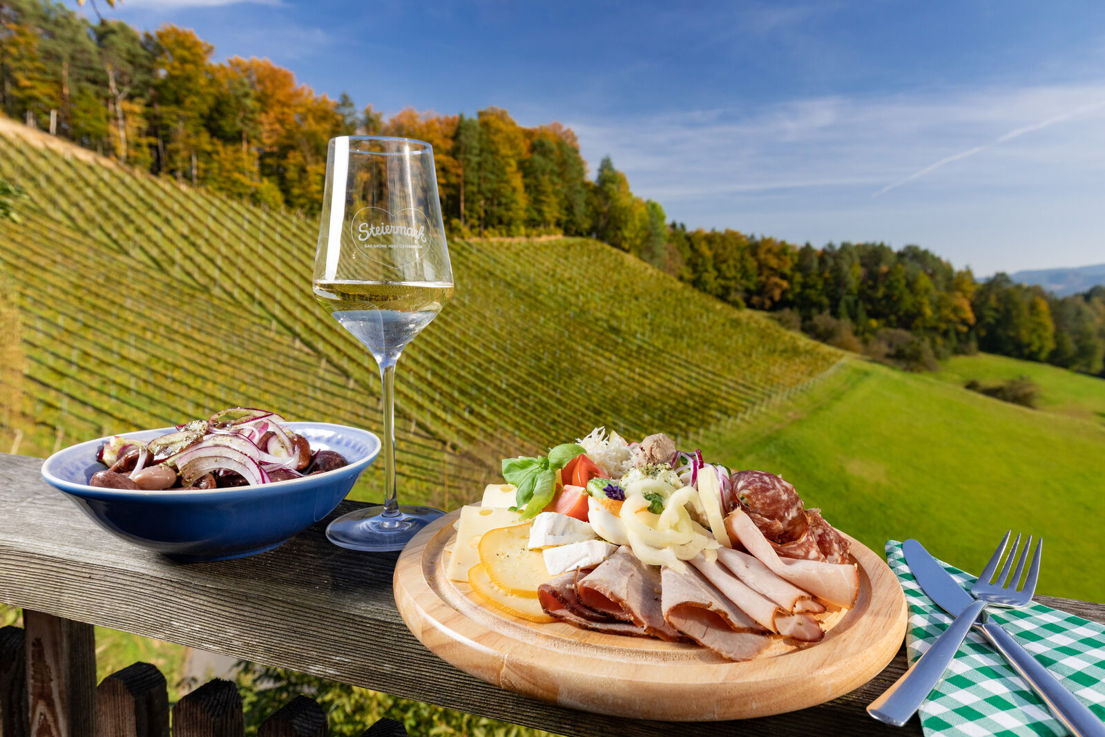
A Buschenschank is not a mountain hut. There is no hot kitchen in the conventional sense, but there is a cold platter, spreads, and the house wine - and no guarantee that it is open. If you plan a walk around a stop, check the opening hours first and carry an emergency snack.
Day routes: the Rosenkogel and the peaks behind it
Rosenkogel trail no. 571, about 9 to 11 km depending on the variant. The classic route of the region. It starts in the centre of Stainz, heads west toward the Engelweingarten, and continues over the Stainzerkogel to the summit. Along the way lie the Pletteri chapel, the Stainz lookout tower, a prehistoric menhir, ancient burial mounds, and the Steinbauer chapel. At the top stand a cross and a small chapel where walkers traditionally ring the bell.
The Styrian provincial tour portal gives 11.4 kilometres, about 4 hours 15 minutes, and over 1,000 metres of ascent for the long variant, rated moderate. This is not a stroll: start early, carry water, and do not schedule the return leg into dusk.
Stainz lookout tower. The 26-metre wooden tower on the Lethkogel lies on the Rosenkogel route and can also be walked to as a shorter destination in its own right. The panorama over the Schilcherland is the widest in the immediate area.
Reinischkogel trail no. 551, about 17.5 km. For anyone who finds the Rosenkogel too short. At roughly 1,460 metres the Reinischkogel is the highest elevation in the area. A full day, and considerably more demanding.
Schilcher circular trail, about 24 km. The long loop through the wine-growing area, sensibly split across two days or walked in stages on separate days.
Practical notes
Waymarking and orientation. The trails are consistently numbered and marked. Even so, a map app on your phone is worth having: some junctions in the vineyards look clearer in the terrain than they are.
Ground and footwear. For the short loops and the valley paths, sturdy trainers are enough. For the Rosenkogel and the Reinischkogel, hiking boots with a proper sole make sense, especially after rain - the meadow sections get slippery.
Seasons. Spring brings the freshest colours and the fewest people; autumn brings the best light and the chestnuts. In high summer the open slopes are hot from midday on, so setting off early is a necessity rather than a discipline. In winter most trails are walkable but very solitary.
In bad weather. The longer routes lose their point in fog and steady rain, because the view is the point. Alternatives for days like that are under What to Do in Stainz When It Rains.
Most guests do not come to West Styria to hike, and still set off every day. If you want accommodation where the first paths begin outside the door, Johann & Anna has five apartments in the middle of Stainz.
Which is the finest hike around Stainz?
For half a day the Stainz Panorama Trail at about 11 kilometres; for a full day the Rosenkogel trail no. 571. If you only have an hour, walk along the Stainzbach.
How many marked trails are there in the Schilcherland?
Roughly 240 kilometres of marked trails across several municipalities, from about 300 metres at the Stainzbach to around 1,460 metres on the Reinischkogel.
Are the walks suitable for children?
The Stainztal loop and the Chestnut Trail, yes. The Rosenkogel and the Reinischkogel are too long for smaller children.
Can you stop for food along the way?
On many routes yes, but not reliably - wine taverns open on a seasonal calendar. Calling ahead is the safest approach.
Do you need a hiking map?
The waymarking is good; a map app on your phone still saves detours in the vineyards.
When is the best time to walk?
May and June for greenery and quiet, September and October for colour and light. In high summer, as early in the day as possible.